Marker Bataan Death March "KM 68"
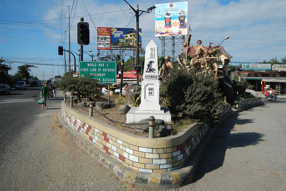


This memorial commemorates the Bataan Death March. The route can be followed these days. At every km is a marker.
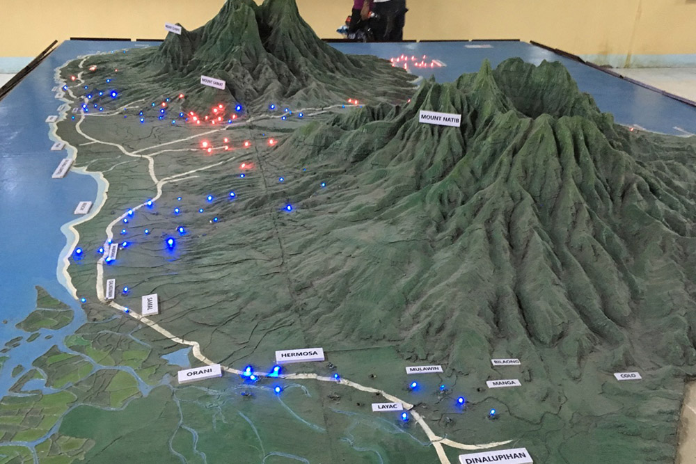
In the relief model shown in the photographs, the path take by the Bataan Death March (April 1942) followed the coastal road on the left side of the map, where you now see blue lights.
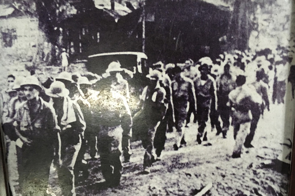
The march covered about 106 kilometers in eight days, and killed thousands of Filipino and American soldiers. The rest were consigned to Japanese concentration camps, beginning at Camp ODonnell near the town of Capas (not shown here but north of Layac and Dinalupihan).
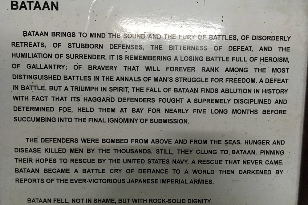
These pictures (of pictures) were taken in the military museum near Mt. Samat.
Michael Normans Tears in the Darkness: The Story of the Bataan Death March and Its Aftermath is one of many excellent books about the brutality of what followed the American surrender on Bataan.
Do you have more information about this location? Inform us!
Source
- Text: Matthew Stevenson
- Photos: Ramon FVelasquez (1), Matthew Stevenson (2, 3, 4)


Looking for reliable information or news facts about WW2? Do you want to create your own battlefield tour to sights of wars from the past? Or are you interested in war medals and their recipients? TracesOfWar.com tells you more!
More information

© STIWOT, 1999-2024. All rights reserved. Privacy statement, cookies, disclaimer and copyright