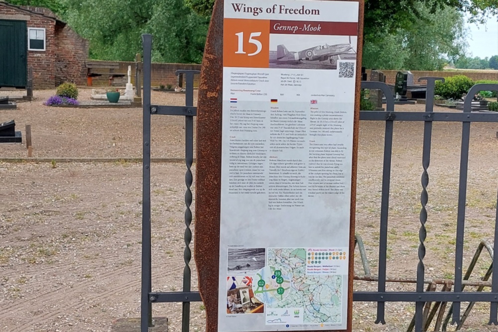
Cycle Route Wings of Freedom: Crash Site Mustang I, P-51 AM101
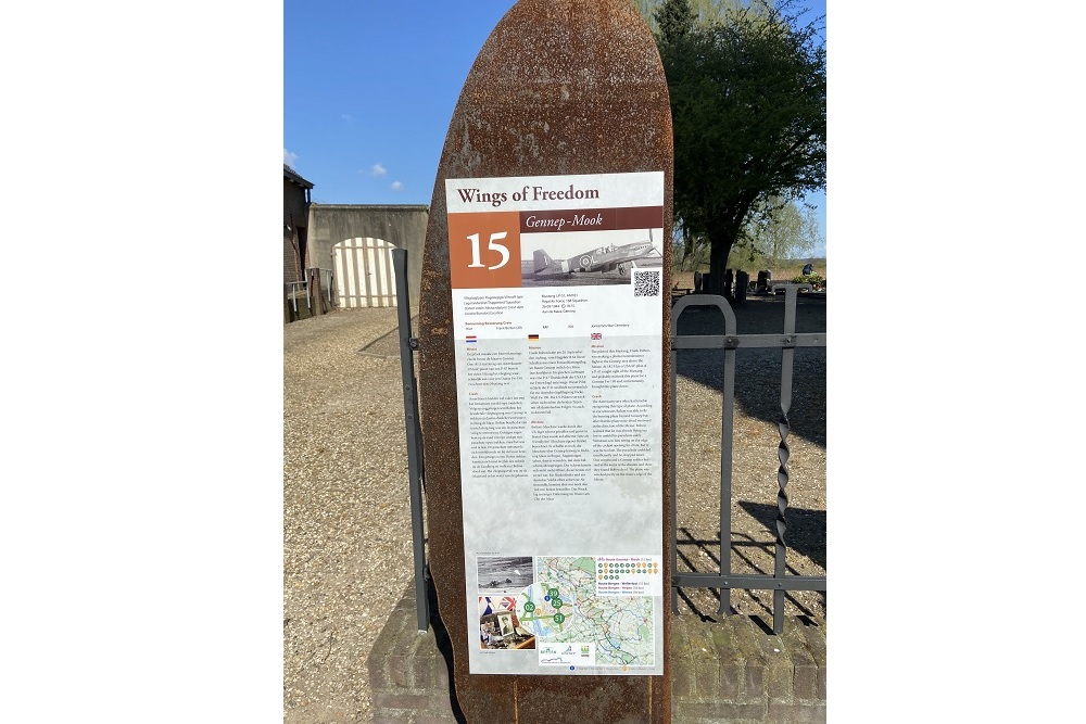

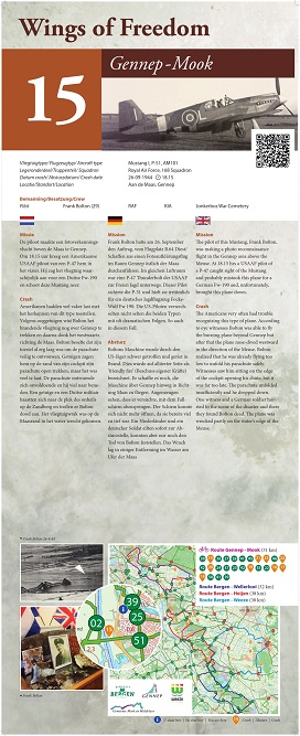
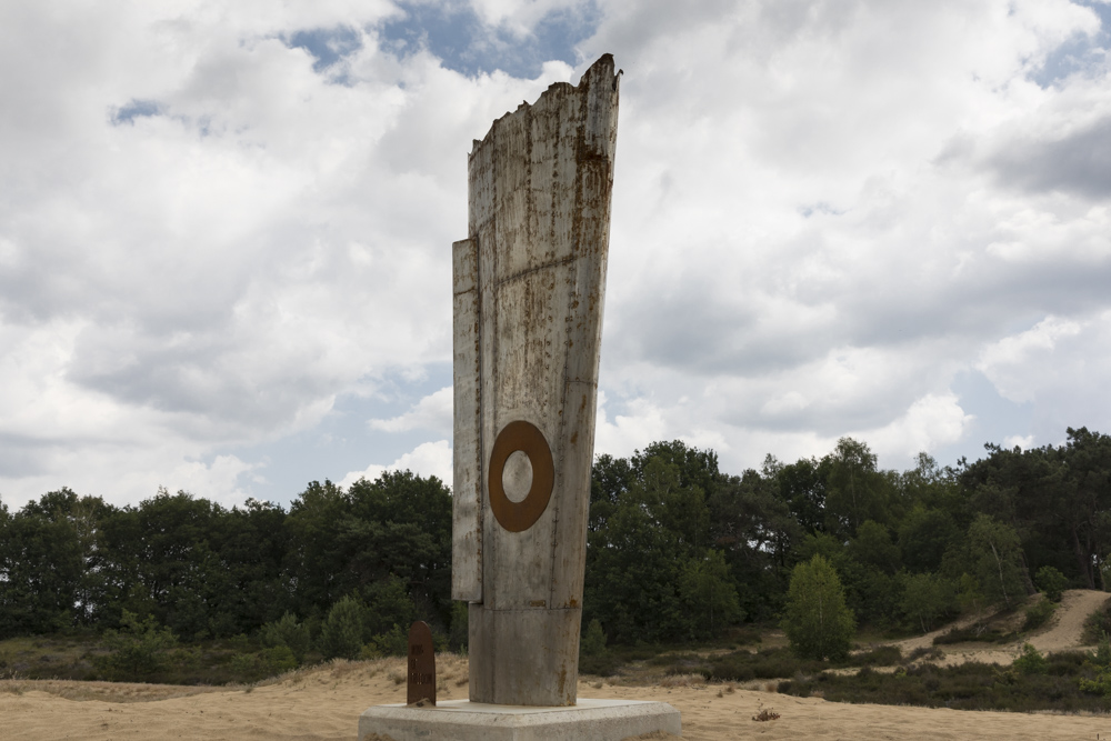
The pilot of this Mustang, Frank Bolton, was making a photo reconnaissance flight in the Gennep area above the Meuse. At 18.15 hrs a USAAF pilot of a P-47 caught sight of the Mustang and probably mistook this plane for a German Fw-190 and, unfortunately, brought this plane down.
The Americans very often had trouble recognizing this type of plane.
According to eye witnesses Bolton was able to fly the burning plane beyond Gennep but after that the plane nose-dived westward in the direction of the Meuse. Bolton realized that he was already flying too low to unfold his parachute safely. Witnesses saw him sitting on the edge of the cockpit opening his chute, but it was far too late. The parachute unfolded insufficiently and he dropped down. One witness and a German soldier hurried tot he scene of the disaster and there they found Bolton dead. The plane was wrecked partly on the water’s edge of the Meuse.
The crash took place on the bank of the Meuse at the coordinates: 51.693457, 5.959776.
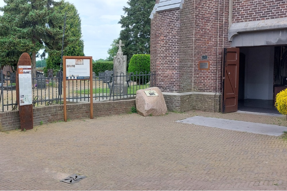
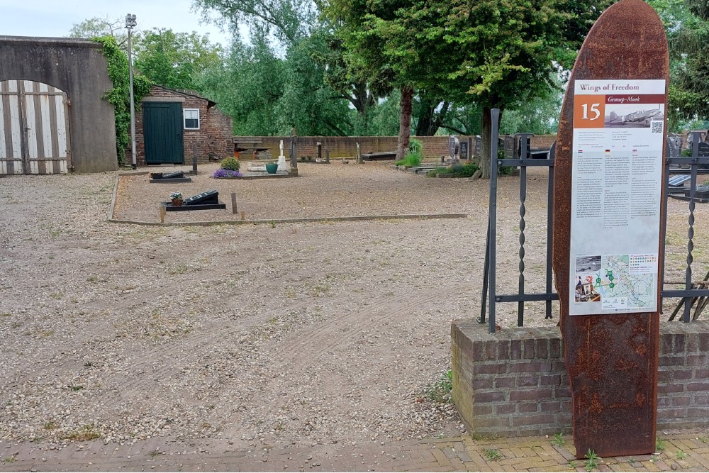
In collaboration with the municipalities of Bergen, Gennep, Mook-Middelaar and Weeze, the initiative was created for cycling routes 'Wings of Freedom' along crash locations.
In the four municipalities, 28 crash sites have been definitively confirmed. Near each crash site is a memorial sign with information about the cause of the crash. Using the network of cycling nodes, there are four routes of approximately 30 - 40 km. deployed along these places.
Do you have more information about this location? Inform us!
Source
- Text: Werkgroep Wings of Freedom
- Photos: Menno Brouwers (1), Werkgroep Wings of Freedom (2), Peter Schipper (3, 4, 5)
- Vliegtuigcrashroute Wings of Freedom

Nearby
Museum
- Museum "Van Postzegel tot Tank" - Groeningen
- Royal Air Force Museum Airport Weeze - Weeze
- Exposition 40-45 - Blitterswijck
Point of interest
- Cycling Route Maashees - Camp on the Heath - Maashees
- Castle Bleijenbeek - Afferden
- Cycling Route Maashees - Bunkers Maaslinie - Maashees
Monument
- Cycle Route Wings of Freedom: Central Memorial - Nieuw Bergen
- Memorial Gerardus G.H. Derks - Afferden
- Maria chapel - Maashees
Cemetery
- Dutch War Graves Venray - Venray
- Dutch War Graves Roman Catholic Cementery Blitterswijck - Blitterswijck
- Dutch War Grave Roman Catholic Cemetery Wellerlooi - Wellerlooi
Remembrance Stone
- Stumbling Stones Leeger-Weezer-Weg - Goch
- Stumbling Stone Hinterm Engel 20 - Goch
- Stumbling Stones Voßstraße 12 - Goch
Crash site
Looking for reliable information or news facts about WW2? Do you want to create your own battlefield tour to sights of wars from the past? Or are you interested in war medals and their recipients? TracesOfWar.com tells you more!
More information

© STIWOT, 1999-2025. All rights reserved. Privacy statement, cookies, disclaimer and copyright