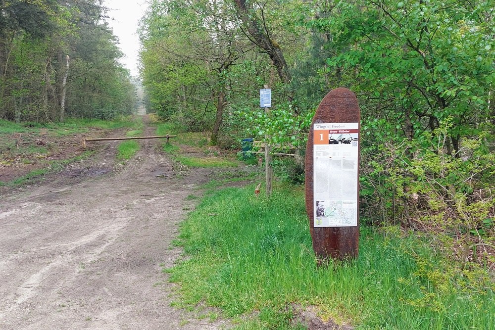
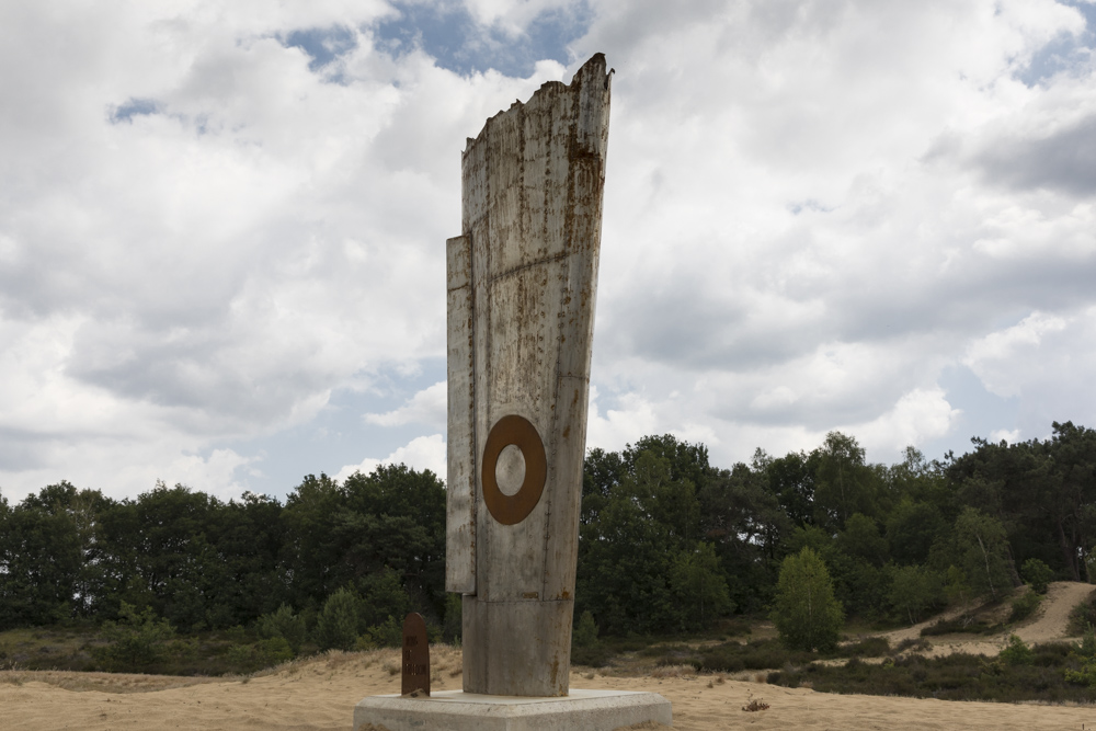
Cycle Route Wings of Freedom: Crash Site Junkers Ju 88G-6, W.-Nr. 621582
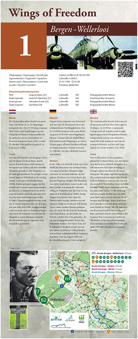

The Austrian pilot already had a record of successes and had shot down approx 20 planes. At 23.50 hrs. commander György took off, together with 8 night fighter planes from Fliegerhorst Husum-Schauendahl, and he was ordered to attack the train transport and convoy transport between Aachen and Liège (allied area from October 21st, 1944).
One of the planes of this squadron, piloted by Gerhard Maus, was shot down near Bocholt by a British Mosquito. It is still unknown if the later downing of György’s plane was done by the same Mosquito. The plane exploded in the air.
The cockpit and one engine were found back in Wellerlooi, whereas the rest was discovered 2,5 km further down in Knikkerdorp (Well). Some witnesses said that the plane had crashed in the morning and not at night. In that case the pilot must have had a second mission which became fatal for him. Three were dead crew members near the plane and they were buried in Weeze. The 4th man was not iscovered until 1946, so one year later, and that’s why he was buried at the German War Cemetery in Ysselsteyn.
The bodies of the four crew members were maimed so severely that it was not
until 1950 that identification became possible.
The crash took place at the coordinates: 51.544552, 6.149590.
Crew:
Pilot August Györy (25) Luftwaffe KIA Kriegsgräberstätte Weeze
Radar operator Heinrich Odenthal (21) Luftwaffe KIA Ysselsteyn War Cemetery
Aerial gunner Sebastian Frank (22) Luftwaffe KIA Kriegsgräberstätte Weeze
Flight engineer Karl Malz (24) Luftwaffe KIA Kriegsgräberstätte Weeze
In collaboration with the municipalities of Bergen, Gennep, Mook-Middelaar and Weeze, the initiative was created for cycling routes 'Wings of Freedom' along crash locations.
In the four municipalities, 28 crash sites have been definitively confirmed. Near each crash site is a memorial sign with information about the cause of the crash. Using the network of cycling nodes, there are four routes of approximately 30 - 40 km. deployed along these places.
Do you have more information about this location? Inform us!
Source
- Text: Werkgroep Wings of Freedom
- Photos: Werkgroep Wings of Freedom (1), Peter Schipper (2, 3, 4)
- Vliegtuigcrashroute Wings of Freedom

Nearby
Museum
- Museum "Van Postzegel tot Tank" - Groeningen
- Royal Air Force Museum Airport Weeze - Weeze
- Exposition 40-45 - Blitterswijck
Point of interest
- Cycling Route Maashees - Camp on the Heath - Maashees
- Castle Bleijenbeek - Afferden
- Cycling Route Maashees - Bunkers Maaslinie - Maashees
Monument
- Cycle Route Wings of Freedom: Central Memorial - Nieuw Bergen
- Memorial Gerardus G.H. Derks - Afferden
- Maria chapel - Maashees
Cemetery
- Dutch War Graves Venray - Venray
- Dutch War Graves Roman Catholic Cementery Blitterswijck - Blitterswijck
- Dutch War Grave Roman Catholic Cemetery Wellerlooi - Wellerlooi
Remembrance Stone
- Stumbling Stones Leeger-Weezer-Weg - Goch
- Stumbling Stone Hinterm Engel 20 - Goch
- Stumbling Stones Voßstraße 12 - Goch
Crash site
Looking for reliable information or news facts about WW2? Do you want to create your own battlefield tour to sights of wars from the past? Or are you interested in war medals and their recipients? TracesOfWar.com tells you more!
More information

© STIWOT, 1999-2025. All rights reserved. Privacy statement, cookies, disclaimer and copyright