Route of Commemoration No.26: Territorial Segregation after World War I

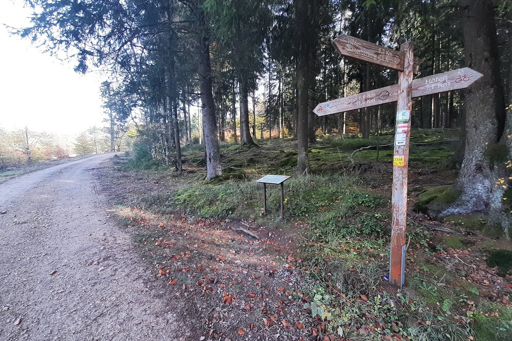
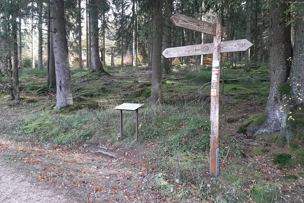
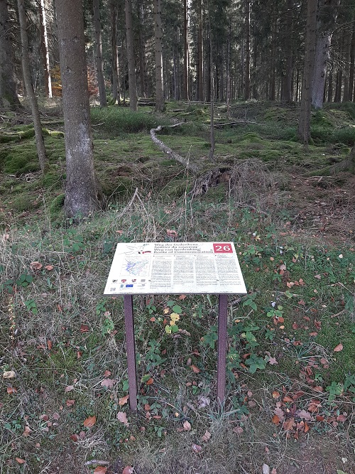
The 96 km long hiking trail „Route of Commemorating" was opened in the spring of 2015. The road passes over striking places of war history in the German-Belgian border area via already existing hiking trails in Büllingen, Bütgenbach and Waimes on the Belgian side and the municipalities of Hellental and Monschau in Germany. Along the way, 30 four-lingual info panels explain the historical events surrounding the Ardennes offensive, smuggling, Westwall and many other themes.
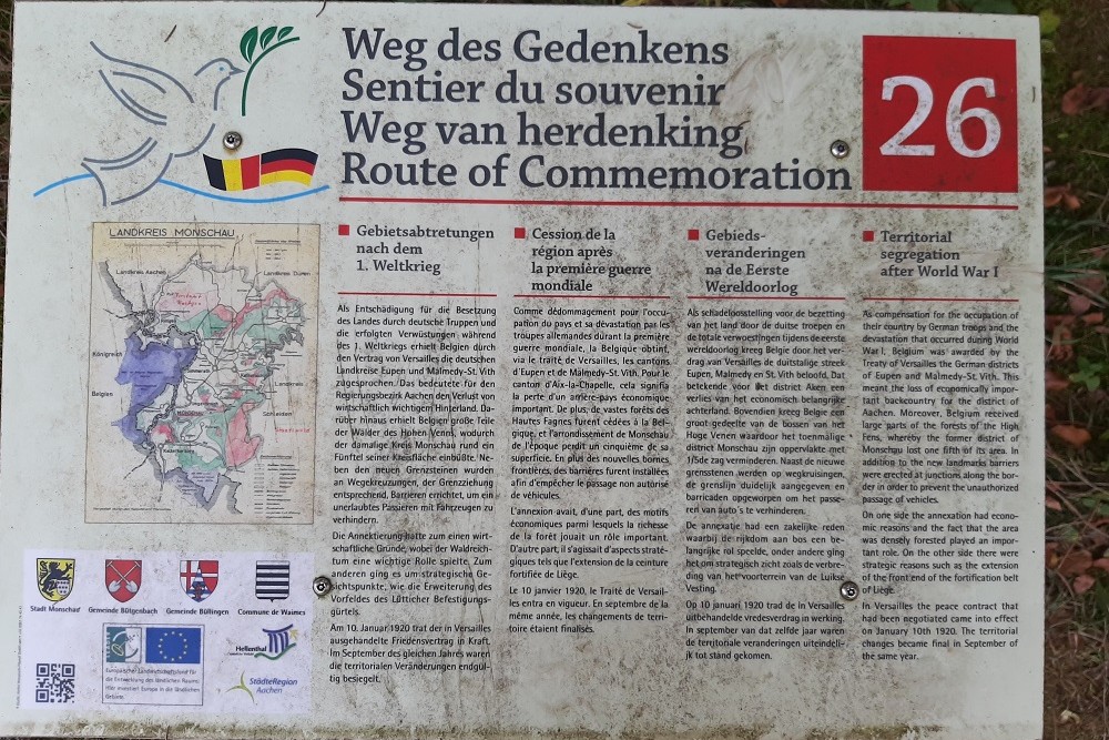
Info panel No. 26
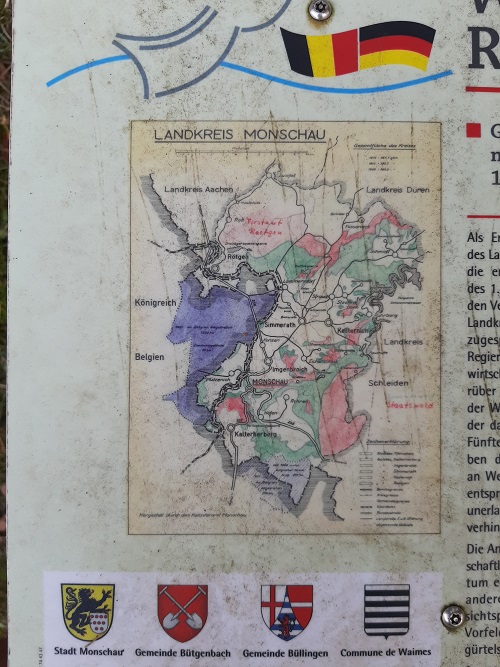
As compensation for the occupation of their country by German troops and the devastation that occurred during World War I, Belgium was awarded by the Treaty of Versailles the German districts of Eupen and Malmedy-St.Vith. This meant the loss of economically important backcountry fort he district of Aachen. Moreover, Belgium received large parts of the forests of the High Fens, whereby the former district of Monschau lost one fifth of its area. In addition tot he new landmarks barriers were errected at junctions along the border in order to prevent the unauthorized passage of vehicles.
On one side the annexation had economic reasons and the fact that the area was densely forested played an important role. On the other side there were strategic reasons such as the extension of the front end of the fortification belt of Liègé.
In Versailles the peace contract that had been negotiated came into effect on January 10th 1920. The territorial changes became final in september of the same year.
Do you have more information about this location? Inform us!
Source
- Text: TracesOfWar
- Photos: Hans Tasma

Nearby
Point of interest
- Route of Commemoration No.25: Heartbreak Crossroads - Wahlerscheid
- Route of Commemoration No.27: The Westwall and the bunker in the Fuhrtsbachtal - Alzen
- Route of Commemoration No.24: The Three GI’s Killed in Action - Hollerath
Monument
- Memorial Cross PFC Jahr - Hellenthal
- Michael Memorial Höfen - Monschau-Höfen
- War Memorial Höfen - Monschau-Höfen
Cemetery
- German War Graves Höfen - Monschau-Höfen
- German War Cemetery Schöneseiffen - Schöneseiffen
- German War Graves Monschau - Monschau
Remembrance Stone
Fortification
Looking for reliable information or news facts about WW2? Do you want to create your own battlefield tour to sights of wars from the past? Or are you interested in war medals and their recipients? TracesOfWar.com tells you more!
More information

© STIWOT, 1999-2025. All rights reserved. Privacy statement, cookies, disclaimer and copyright