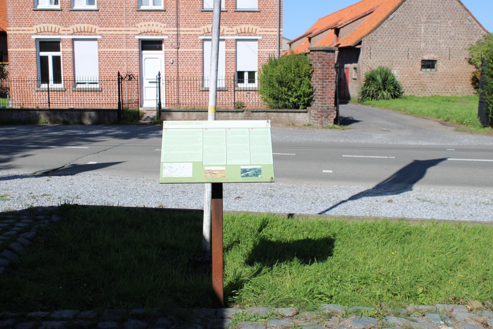
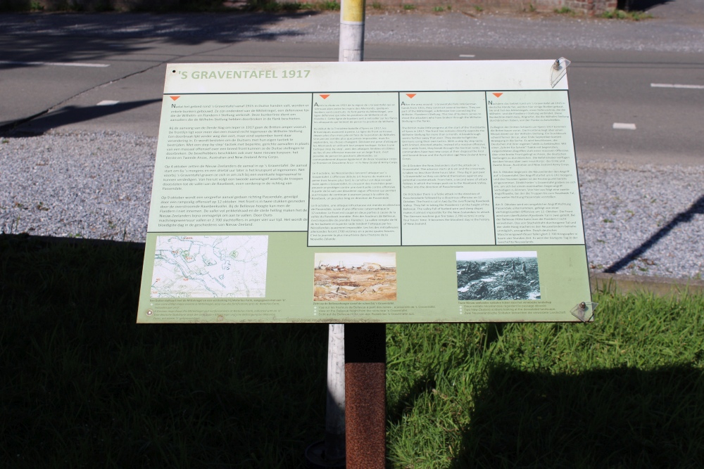
Informatieboard s Graventafel 1917 Passchendaele

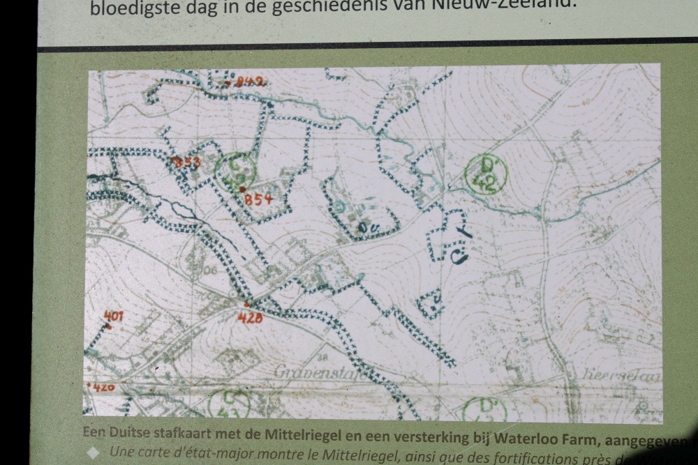
After the area around s Graventafel falls into German hands from 1915, they construct several bunkers. They are part of the Mittelriegel, a definitive line connecting the Wilhelms- Flanders-I-Stellung. This line of bunkers serves to shoot the attackers who have broken through the Wilhelm-Stellung in the flanks.
The British make little progress at the start of the Third Battles of Ypres in 1917. The front line remains directly opposite the Wilhelm-Stellung for more than a month. A breakthrough seems further away than ever. They decide to fight the Germans using their own tactics. With a step-by-step tactic with limited, directed attack, instead of a massive offensive over a wide front, the break through the German ranks. The commanders have two new corps at their disposal the First and Second Anzac and the Australian and New Zealand Army Corps.
On 4 October the New Zealanders start the attack on s Graventafel. The advance starts at 6 am and the crossroads is taken no less than three hours later. They dig in just past "s Graventafel so they can defend themselves against any potential counterattack. From here, a second wave of attack follows in which the troops push on to the Ravebeek Valley, further into the direction of Passchendaele.
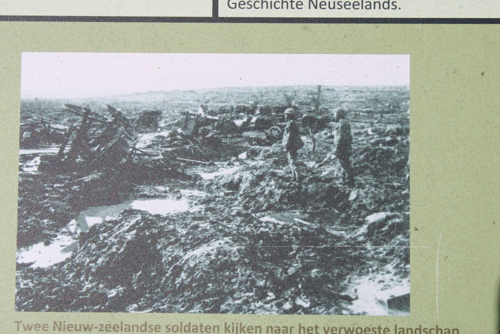
On 9 October there is a futile attack in the direction of Passchendaele followed by a disastrous offensive on 12 October. The front is cut in two by the overflowing Ravebeek Valley. They fail in taking the Flandern-I at the height of the Bellevue. The valley full of barbed wire and steep stopes makes it almost impossible for the New Zealanders to attack. The German machine gun fire takes 2.700 victims in only four hours time. It becomes the bloodiest day in the history of New Zealand.
Do you have more information about this location? Inform us!
Source
- Text: Luc Van Waeyenberge
- Photos: Luc Van Waeyenberge
- Informatiebord


Nearby
Museum
- Memorial Museum Passchendaele 1917 - Zonnebeke
- Museum Pond Farm Museum - Langemark (Langemark-Poelkapelle)
- Guynemer Pavilion - Poelkapelle (Langemark-Poelkapelle)
Point of interest
- Remains Railroad 64 - Passendale (Zonnebeke)
- German Bunker Flandern I Stellung Zonnebeke - Zonnebeke
- Dugout Chateau Grounds Zonnebeke - Zonnebeke
Monument
- New Zealand Road To Passchendaele - Passendale (Zonnebeke)
- Waterloo Farm Passchendaele - Passendale (Zonnebeke)
- Memorial New Zealand at Passchendaele - Passendale (Zonnebeke)
Cemetery
- Commonwealth War Cemetery Tyne Cot Cemetery - Passendale (Zonnebeke)
- Tyne Cot Memorial - Passendale (Zonnebeke)
- Commonwealth War Cemetery Dochy Farm New British Cemetery - Langemark (Langemark-Poelkapelle)
Fortification
- British Bunker "Wimbledon" - Zonnebeke
- German Bunker Kaserne 2 Herzog Albrecht / Hackney Villa - Sint-Juliaan (Langemark-Poelkapelle)
- Remains German Bunker Ieperstraat - Zonnebeke
Crash site
Looking for reliable information or news facts about WW2? Do you want to create your own battlefield tour to sights of wars from the past? Or are you interested in war medals and their recipients? TracesOfWar.com tells you more!
More information

© STIWOT, 1999-2024. All rights reserved. Privacy statement, cookies, disclaimer and copyright