Historical Panel September 1944: Kranenburg
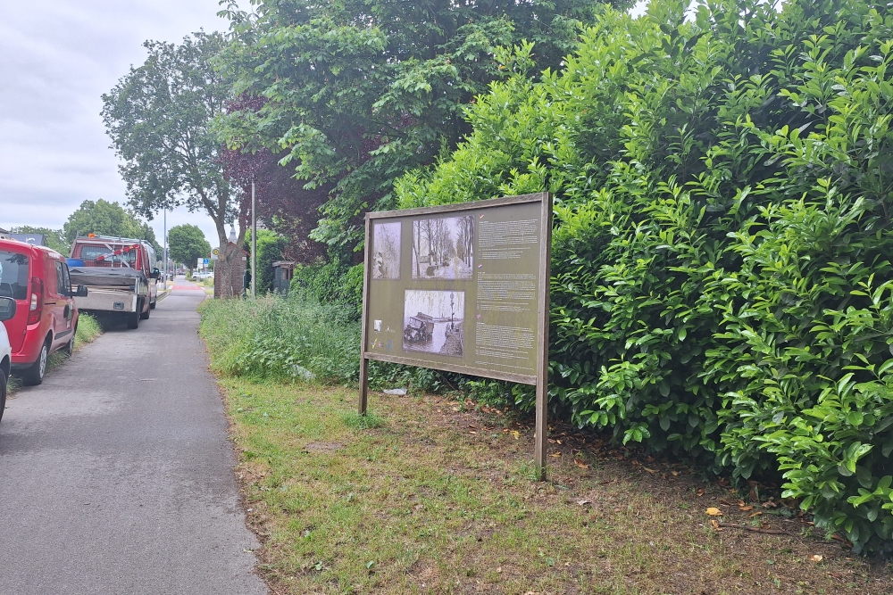

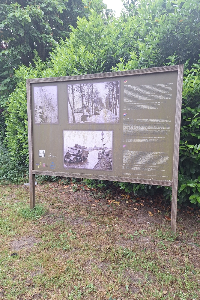
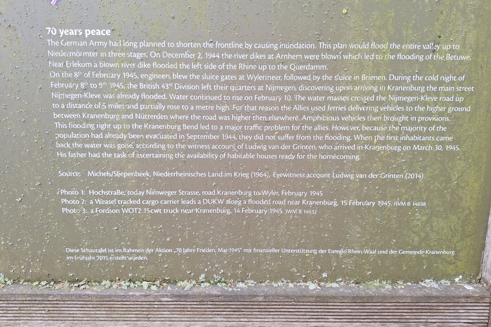
"70 years of peace" – Flooding as a means of defense
Background:
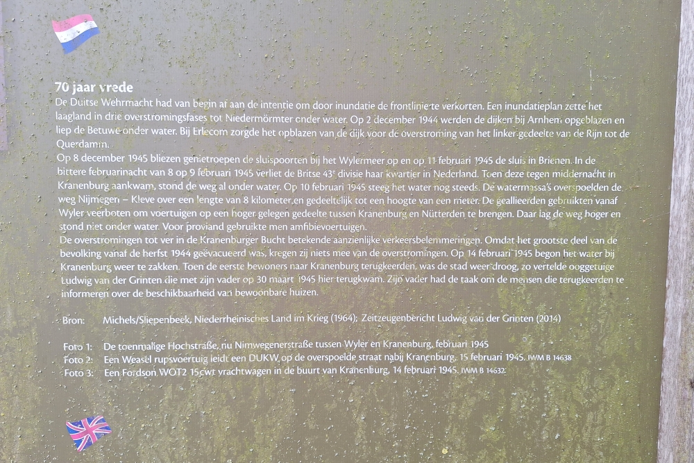
The German Wehrmacht tried to slow down the Allied advance by using water. They did this through an inundation plan – a planned flood – to flood the low-lying area. There were three phases of flooding intended to make the front line shorter and more defensible.
On December 2, 1944, dikes were blown up near Arnhem, after which the Betuwe was flooded.
At Erlecom, the dike was blown up, so that the left part of the Rhine also flooded up to the Querdamm.
Consequences for the Kranenburg region:
On December 8, 1945 (this is probably a mistake, December 1944 is meant) locks at the Wylermeer were blown up.
On February 11, 1945, the lock in Brienen was destroyed.
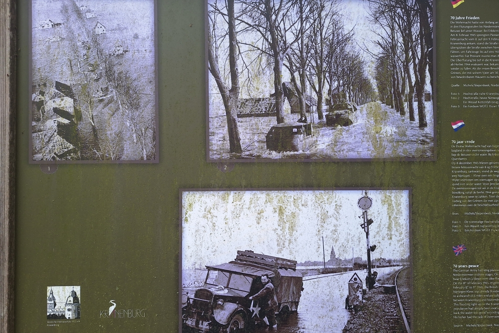
During the night of 8 to 9 February 1945, the British 43rd Division left its headquarters in the Netherlands, and when they reached Kranenburg, the road was completely flooded.
Problems with movement and evacuation:
The water rose even further on 10 February 1945, and flooded the Nijmegen-Kleve road for 8 kilometres.
The Allies could only move vehicles to higher areas such as Kranenburg and Nütterden via Wyler.
Amphibious vehicles (such as the DUKW) were used to transport food and provisions.
Impact on the civilian population:
Many residents of Kranenburg had already been evacuated in 1944.
The water did not begin to subside until 14 February 1945.
The return of residents then began. The city was dry again.
An important role was played by Ludwig van der Grinten, who from 30 March 1945 informed people about their return and the availability of habitable houses.
Do you have more information about this location? Inform us!
Source
- Text: RJArmy.nl
- Photos: RJArmy.nl

Nearby
Museum
Point of interest
- Concrete Practice Bomb Boersteeg - Groesbeek
- Tree of Horrocks - Groesbeek
- Foxholes Duivelsberg - Berg en Dal
Monument
- War Memorial Kranenburg - Kranenburg
- Memorial "Hate Kills, Love Reconciles" - Kranenburg
- Liberation Route Marker 011: Murder of two American soldiers - Kranenburg
Cemetery
- German War Grave Kranenburg - Kranenburg
- Canadian War Cemetery Groesbeek - Groesbeek
- Groesbeek Memorial Canadian War Cemetery Groesbeek - Groesbeek
Remembrance Stone
- Stumbling Stone Nijmeegseweg 34 - Gennep
- Stumbling Stones Markt 15 - Gennep
- Stumbling Stones Houtstraat 4-6 - Gennep
Fortification
- Schuilbunker Type 102v - Nutterden
- Trenches on Pyramid Hill - Milsbeek
- Fort Pannerden - Szw Fr - Casemate 2 - Doornenburg
Crash site
Looking for reliable information or news facts about WW2? Do you want to create your own battlefield tour to sights of wars from the past? Or are you interested in war medals and their recipients? TracesOfWar.com tells you more!
More information

© STIWOT, 1999-2025. All rights reserved. Privacy statement, cookies, disclaimer and copyright