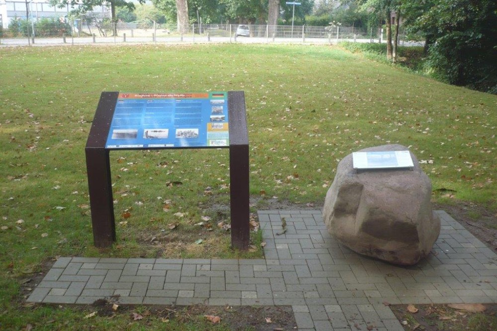
Liberation Route Marker 089: Water as a weapon
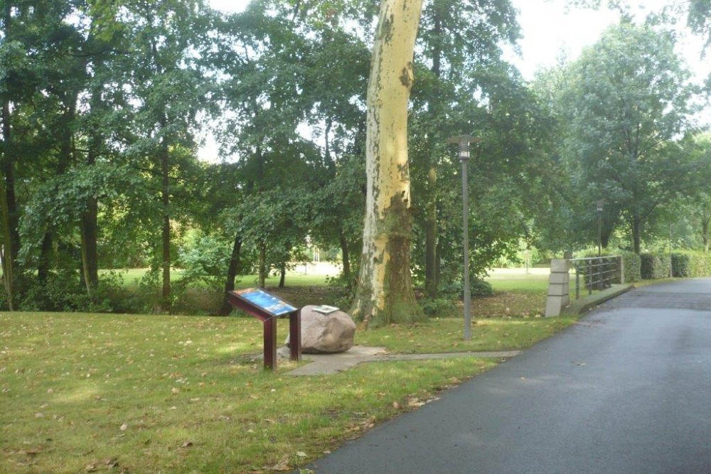

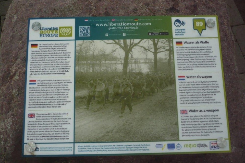
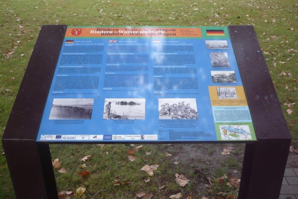
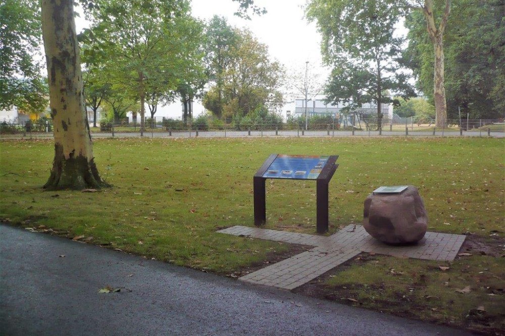
Water as a weapon
In October 1944, the German army devises plans to flood a large part of the Dutch-German border area in defence of an allied attack. In February 1945, German troops flood multiple areas around Cleves in an attempt to stop the allied advance.
Dykes are blown up and large areas, including the basement of the XOX factory, are flooded. 19-Year-old Jan Arie de Ruiter from the Netherlands experiences the events from close.
He writes about the XOX biscuit factory where he lives and works. He lives in a flooded cellar and hides from the heavy bombardments that take place above ground. Here he experiences being liberated by the Allies.
This is followed by a long and treacherous journey, some of which involves wading through knee-deep water. His diary paints a compelling picture of the extreme conditions in which civilians had to survive in the bitter cold, surrounded by water and shelling. It was not until the end of April 1945 that Jan Arie de Ruiter was able to touch Dutch soil again.
Audiospot - Water as a weapon
Liberation Route Europe is a certified Cultural Route of the Council of Europe. With hundreds of sites and stories in nine European countries, the route links the main regions along the advance of the Allied Forces in 1943-1945.
The entire route consists of themed routes that can be travelled by by hiking, walking, cycling and car. These routes pass numerous historical and interesting sites and tell stories from a multitude of perspectives that were important in the final phase of World War II.
Many routes feature listening spots, offering the opportunity to listen to a historical story at a location. In addition, many ‘Vectors of Memory’ have been placed, indicating that the passer-by is on one of the Liberation Routes.
The routes can be found on the Liberation Route Europe website or in the app through which many stories can also be listened to.
Do you have more information about this location? Inform us!
Source
- Text: TracesOfWar & Liberation Route Europe
- Photos: Arie van Wijngaarden

Nearby
Point of interest
- Bomb Impacts Bridge Kleve - Kleve
- Bullet and Grenade Impacts Kleve - Kleve
- Castle Schwanenburg Kleve - Kleve
Monument
- War Memorial Kleve - Kleve
- Franco-Prussian War Memorial Kleve - Kleve
- Memorial Wilhelm Frede - Kleve
Cemetery
- German War Graves Kleve - Kleve
- German War Cemetery Kleve-Dönsbrügger Heide - Kleve (Donsbrüggen)
- Memorial Stone Reinhold Franck Cemetery Keeken - Keeken
Remembrance Stone
- Stumbling Stones Tiergartenstraße 24 - Kleve
- Stumbling Stones Tiergartenstraße 16 - Kleve
- Stumbling Stones Kavarinerstraße 42 - Kleve
Fortification
Looking for reliable information or news facts about WW2? Do you want to create your own battlefield tour to sights of wars from the past? Or are you interested in war medals and their recipients? TracesOfWar.com tells you more!
More information

© STIWOT, 1999-2025. All rights reserved. Privacy statement, cookies, disclaimer and copyright